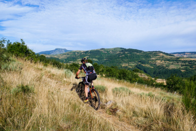
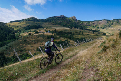
Rando VTT Trans Mezenc 2026 / 58Km
Lachapelle-sous-Chanéac
Distance
58,62 km
Dénivelé +
1 681 m
Dénivelé -
1 689 m
Durée estim.
8h09
VTT
Boucle

Photos du parcours

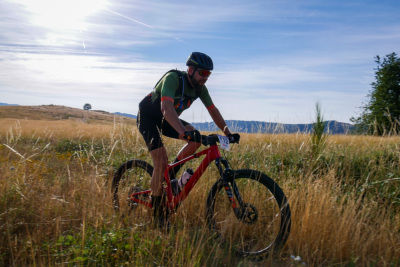
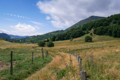
Rando VTT Trans Mezenc 2026 / 58Km - Lachapelle-sous-Chanéac - Photo 1
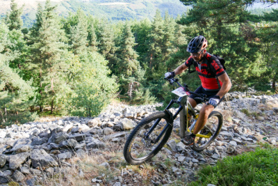
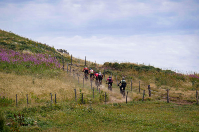
Rando VTT Trans Mezenc 2026 / 58Km - Lachapelle-sous-Chanéac - Photo 2
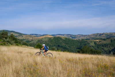
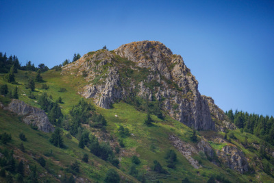
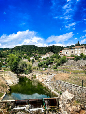
Rando VTT Trans Mezenc 2026 / 58Km - Lachapelle-sous-Chanéac - Photo 3
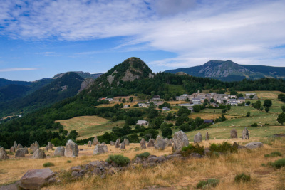
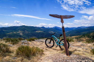
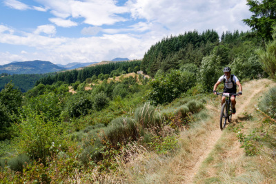
Rando VTT Trans Mezenc 2026 / 58Km - Lachapelle-sous-Chanéac - Photo 4
Rando VTT Trans Mezenc 2026 / 58Km - Lachapelle-sous-Chanéac - Photo 5
Rando VTT Trans Mezenc 2026 / 58Km - Lachapelle-sous-Chanéac - Photo 6
Rando VTT Trans Mezenc 2026 / 58Km - Lachapelle-sous-Chanéac - Photo 7
Rando VTT Trans Mezenc 2026 / 58Km - Lachapelle-sous-Chanéac - Photo 8
Rando VTT Trans Mezenc 2026 / 58Km - Lachapelle-sous-Chanéac - Photo 9
Rando VTT Trans Mezenc 2026 / 58Km - Lachapelle-sous-Chanéac - Photo 10
Rando VTT Trans Mezenc 2026 / 58Km - Lachapelle-sous-Chanéac - Photo 11
Rando VTT Trans Mezenc 2026 / 58Km - Lachapelle-sous-Chanéac - Photo 12
Avis des utilisateurs
Soyez le premier à ajouter un avis !

Cols le long du parcours

33 km
Le Col
1 116 m
36 km
Le Col
1 116 m
42 km
Le Col
1 116 m
45 km
Col de l'Ardéchoise
1 184 m
Cols extraits du catalogue du Club des Cent Cols

Résumé

Découvrez ce parcours de VTT de 58,6 km à proximité de Lachapelle-sous-Chanéac. Il présente une ascension cumulée de plus de 1680m. Prévoyez environ 8 heures et 9 minutes pour réaliser ce parcours.
Date de création du parcours: 12 juin 2026, 08:38:39.
Dernière modification de la fiche parcours: 12 juin 2026, 08:44:03.
Identifiant du parcours: 24341372
Langue
🇫🇷 Français
Connexion
Créer un compte
Se connecter
Informations légales
Mentions légales
Paramètres des cookies
Suivez-nous
Application OpenRunner Apple Application OpenRunner Android
© 2026 OpenRunner - Version 7.31.3
et rejoignez la communauté de passionnés !