IGN Maps - France
Explore unknown territories and beautiful landscapes with our accurate and up-to-date maps.
Explore with confidence using IGN maps
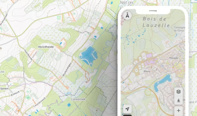
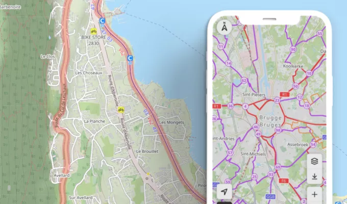
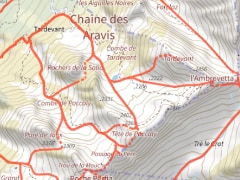
IGN (National Institute of Geographic and Forest Information) is globally recognized for its detailed and accurate topographic maps. With the 'IGN maps' feature included in OpenRunner's Explorer offer, you have access to comprehensive and updated cartographic information, enabling you to create more precise routes adapted to terrain specifics based on your activity.
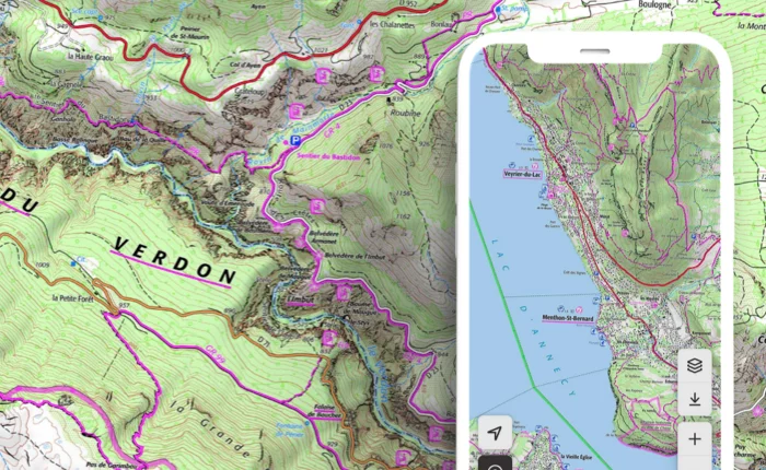
Viewpoints, historical landmarks, parking areas, waterways, altitude, contour lines... Everything is precisely displayed. Whether you're a hiker, cyclist, or trail runner, this precision is crucial to avoid navigation errors and have a serene outdoor experience.
With the 3 available display modes (Top 25, Scan 25 Tour, and Plan v2), IGN maps open new perspectives and a world of exploration possibilities; the PRs (short hiking trails) and GRs (long hiking trails) in France, Corsica, and Overseas Departments will have no more secrets for you!
For extensive exploration, play with the transparency level of available overlays: satellite, cadastral, slopes over 30 degrees, national nature reserves, or regional natural parks... These possibilities provide further immersion and information to plan and refine your route effectively.
In conclusion, IGN maps are more than mere navigation tools. They become your faithful guides, providing all necessary information to (re)discover, learn, and venture into new territories confidently and safely.
This feature is part of the
Learn more
EXPL  RER
RER
RERTo help you better read topographic maps, discover
a legend
that should help you understand all symbols, icons, acronyms, and graphical elements on the map. You'll become an expert in the art of orienting yourself; these maps will have no secrets for you!
The IGN Francia map backgrounds included in the EXPLORER offer

Top 25

Plan v2

Scan 25 Tour
The IGN Francia overlays available in the EXPLORER offer
 Satellite
 Catasto
 Pendenza maggiori 30°
 Natura 2000 (Habitat)
 Natura 2000 (Uccelli)
 Riserve naturali nazionali
 Parchi naturali regionali
 Limiti amministrativi
 Foro aeree 1950-1965
 Sci Alp. / Ciasp.