
Distance
10.88 Km
Ascent +
356 m
Descent -
364 m
Est. duration
3h40
A word from the author
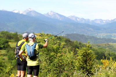
  Ce sentier contourne le Roc du Casteldos où s'élevaient jadis les fortifications d'Eskolobris. Il offre une vue magnifique sur le Roquefortez, le bassin d'Escouloubre et les hautes cimes du Donezan.
D'autres sentiers des Pyrénées Audoises sur www.rando-pyreneesaudoises.com
Pyrénées Audoises
Route photos
User reviews
5.0
• 1 reviews
Jun 29, 2026
Top
D
damien077
Passes along the route
2 Km
Col du Counc
1,289 m
4 Km
Col de Garabeil
1,262 m
Passes extracted from the Club des Cent Cols catalogue
Weather

Feature available with the EXPLORER subscription
Summary
Discover this 10.9 km hiking route near Le Bousquet. This route includes 7.5 km of forest tracks and 2.5 km of paths. It has a cumulative ascent of more than 350m. Allow about 3 hours and 40 minutes to complete this route.
Route creation date: November 25, 2020, 18:17:42.
Last update of the route sheet: August 21, 2026, 14:22:50.
Route ID: 12294704

