Distance
8.22 Km
Ascent +
221 m
Descent -
221 m
Est. duration
2h38
A word from the author
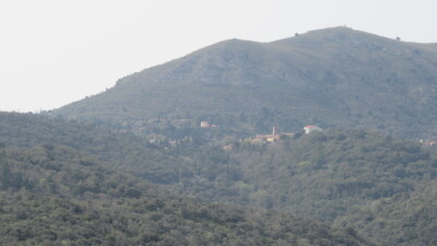
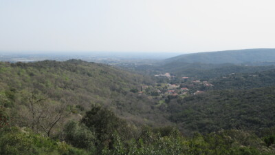
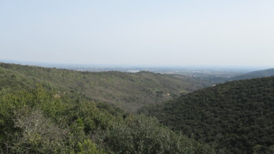
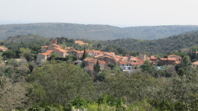
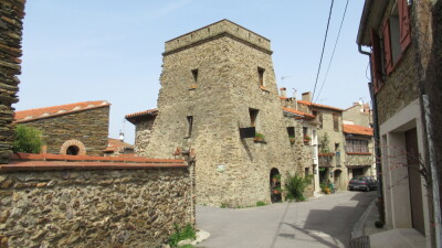
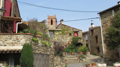
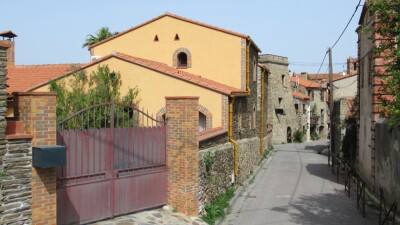
    "Camélas – Bellecroze – Serrat d’en Vidal"

- Parcours effectué le 18/12/2020 (reconnaissance) et le 28/03/2022 (14 participants).
- Départ de la randonnée : Camélas : Parking près du cimetière.
- Carte : IGN TOP25 – 2448 OT Thuir/Ille-sur-Têt
- Sentiers, chemins, pistes.

POI de la randonnée 66.302f (altitudes et azimuts) :
(A) : trajet aller - (R) : trajet retour

[0]	316 m - Az.228° parking près du cimetière
[1]	320 m - Az.104°(A) à gauche rue - Az.030°(R) à gauche rue
[2]	319 m - Az.154° à droite sentier
[3]	242 m - Az.078° à droite chemin
[4]	246 m - Az.256° à gauche sentier
[5]	220 m - Az.030° à gauche sentier
[6]	208 m - Az.066° à droite sentier
[7]	202 m - Az.008° à gauche sentier
[8]	203 m - Az.022° tout droit piste
[9]	201 m - Az.050° à droite piste
[10]	189 m - Az.070° à droite piste
[11]	184 m - Az.074° à gauche piste
[12]	172 m - Az.034° à gauche piste
[13]	173 m - Az.244° à gauche route D58
[14]	173 m - Az.280° à droite petite route
[15]	168 m - Az.318° à droite piste
[16]	194 m - Az.230° à gauche piste
[17]	212 m - Az.334° à gauche piste citerne
[18]	280 m - Az.290° à droite piste
[19]	299 m - Az.256° à gauche piste
[20]	320 m - Az.250° à gauche piste
[21]	316 m - Az.194° à gauche piste
[22]	313 m - Az.178° à gauche piste
[23]	384 m - Az.150° tout droit piste
[24]	377 m - Az.064° tout droit piste
[25]	332 m - Az.004° à gauche rue
CAMI RANDO
Route photos


User reviews
This route does not have any reviews yet. Have you done it? Be the first to write a review!
Summary
Discover this 8.2 km hiking route near Camélas. It has a cumulative ascent of more than 220m. Allow about 2 hours and 38 minutes to complete this route.
Route creation date: December 18, 2020, 18:35:56.
Last update of the route sheet: February 17, 2026, 16:14:19.
Route ID: 12359998