
Distance
8.65 Km
Ascent +
116 m
Descent -
117 m
Est. duration
2h28
A word from the author
  Parcours effectué les 21/09/2015 (11 participants) - 04/12/2017 (17 participants)- 29/11/2021 (13 participants) - 14/09/2025 (Reconnaissance).
Dénivelé + : 200 m.
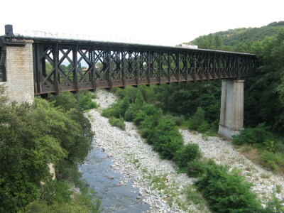
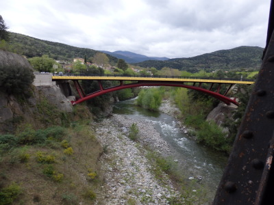
Canal d'irrigation,  ponts, chapelle.
Variante courte de la randonnée n° 66211E.
Départ depuis le parking situé au niveau du musée d'art moderne de Céret. Horodateur : stationnement de + 2h00 "tarif forfaitaire de 2€ (14/02/2023)"
CAMI RANDO
Route photos


User reviews
This route does not have any reviews yet. Have you done it? Be the first to write a review!
Weather

Feature available with the EXPLORER subscription
Summary
Discover this 8.6 km hiking route near Céret. It has a cumulative ascent of more than 110m. Allow about 2 hours and 28 minutes to complete this route.
Route creation date: December 2, 2021, 09:12:59.
Last update of the route sheet: September 17, 2025, 20:32:56.
Route ID: 13995925

