Distance
13.9 Km
Ascent +
797 m
Descent -
781 m
Est. duration
5h57
A word from the author
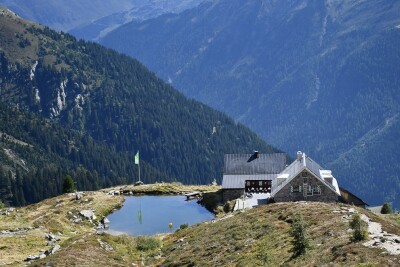
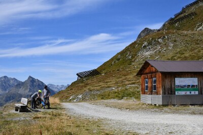
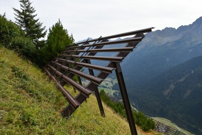
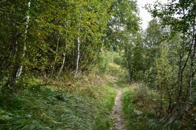
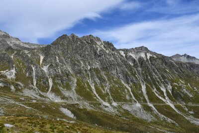
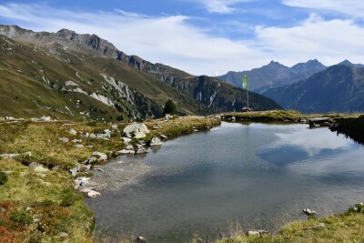
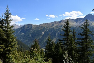
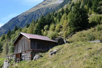
Au départ de Galtür, randonnée vers la Friedrichshafener Hütte. Le parcours monte gentiment au Sonnenkogel, puis grimpe assez raide dans les alpages jusqu'au Adamsberg, avec un haut du sentier qui serpente entre les pare-avalanche. Puis le large chemin Paznauer Höhenweg suivi du Friedrichshafener Weg mènent en légère descente à la Hütte éponyme. Redescente par un sentier à travers la forêt qui coupe à plusieurs reprises le chemin carrossable, paradis des vvtistes. On arrive dans la vallée à Piel, d'où on rejoint Galtür par un chemin majoritairement asphalté en surplomb de la rivière Tristanna. Parcours sans difficulté
J
Route photos
User reviews
This route does not have any reviews yet. Have you done it? Be the first to write a review!
Summary
Discover this 13.9 km hiking route near Galtür. It has a cumulative ascent of more than 790m. Allow about 5 hours and 57 minutes to complete this route.
Route creation date: October 2, 2023, 15:28:10.
Last update of the route sheet: February 7, 2024, 09:02:39.
Route ID: 17737039