
Distance
18.73 Km
Ascent +
417 m
Descent -
416 m
Est. duration
2h27
A word from the author
Parcours limitrophe avec la Lorraine, offrant des vue panoramiques, dont le rocher de Dabo et des curiosités tel que le menhir du Sattelfels et l'antenne au col du Valsberg.
Route photos
User reviews
4.0
• 1 reviews
Aug 7, 2026
Sortie Anniv Oliv
G
gilles29438
Passes along the route
9 Km
Col de Valsberg
652 m
13 Km
Col de la Schleif
689 m
Passes extracted from the Club des Cent Cols catalogue
Weather

Feature available with the EXPLORER subscription
Summary
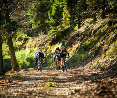
Discover this 18.7 km mountain biking route near Wangenbourg-Engenthal. This route includes 16.9 km of forest tracks. It has a cumulative ascent of more than 410m. Allow about 2 hours and 27 minutes to complete this route.
Route creation date: October 12, 2023, 10:49:11.
Last update of the route sheet: July 22, 2026, 15:37:55.
Route ID: 17793108

