Distance
124.13 Km
Ascent +
1,135 m
Descent -
1,136 m
Est. duration
7h36
A word from the author
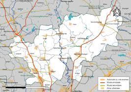
    La communauté de communes du Val d'Ille-Aubigné est une intercommunalité française, située dans le centre du département d'Ille-et-Vilaine.

 La communauté de communes Val d'Ille-Aubigné regroupe 19 communes et s'étend sur 297,9 km²
Route photos


User reviews
This route does not have any reviews yet. Have you done it? Be the first to write a review!
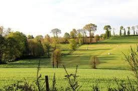
Summary
Discover this 124.1 km gravel route near Montreuil-le-Gast. It has a cumulative ascent of more than 1130m. Allow about 7 hours and 36 minutes to complete this route.
Route creation date: November 15, 2023, 06:08:09.
Last update of the route sheet: February 7, 2024, 09:02:39.
Route ID: 17952758