Distance
21 Km
Ascent +
518 m
Descent -
518 m
Est. duration
2h49
Route photos
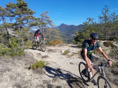
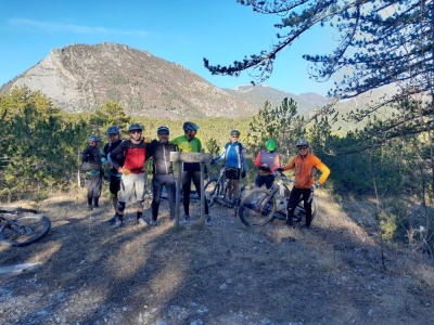
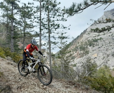
Descente de Salles
User reviews
This route does not have any reviews yet. Have you done it? Be the first to write a review!
Passes along the route
10 Km
Col Bonnet
688 mPasses extracted from the Club des Cent Cols catalogue
Summary
Discover this 21 km mountain biking route near Montlaur-en-Diois. This route includes 11.8 km of roads and 3.7 km of paths. It has a cumulative ascent of more than 510m. Allow about 2 hours and 49 minutes to complete this route.
Last update of the route sheet: Feb 29, 2024.