
Distance
18.54 Km
Ascent +
562 m
Descent -
564 m
Est. duration
3h06
A word from the author
Memes caractéristiques que le parcours 2, avec un détour très proche du mont Fouet(1194m), pour un retour par la Citre.
Route photos

User reviews
3.0
• 1 reviews
Jul 26, 2025
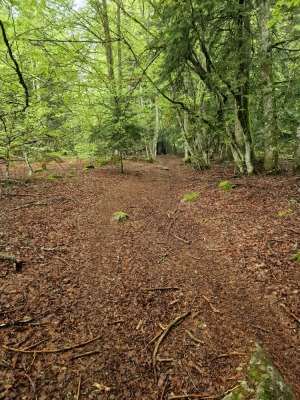
Le balisage GPS et physique sont tous les 2 défectueux, malgré tout la balade est très agréable
S
sammy51104
Weather

Feature available with the EXPLORER subscription
Summary
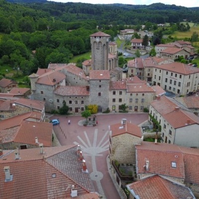
Discover this 18.5 km trail route near Marols. This route includes 10.4 km of forest tracks and 5.1 km of paths. It has a cumulative ascent of more than 560m. Allow about 3 hours and 6 minutes to complete this route.
Route creation date: April 1, 2024, 21:53:25.
Last update of the route sheet: July 26, 2025, 14:10:21.
Route ID: 18658304

