
Distance
13.12 Km
Ascent +
57 m
Descent -
27 m
Est. duration
3h24
A word from the author
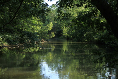
  C'est une randonnée facile à faire le long de l'Yerres et en plus c'est ombragé.
Pour tous les détails sur la rando, n'hésitez pas à télécharger le lien suivant pour lire mon article de blog :https://www.hunza.pro/2024/08/randonnee-le-long-de-l-yerres-de-montgeron-a-boussy-saint-antoine.html
Bonne rando
Route photos
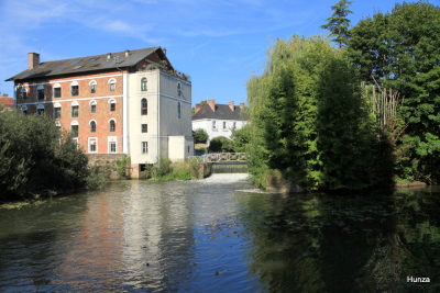
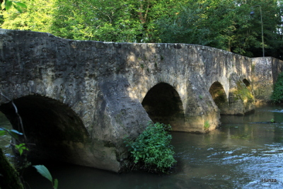
User reviews
This route does not have any reviews yet. Have you done it? Be the first to write a review!
Weather

Feature available with the EXPLORER subscription
Summary
Discover this 13.1 km walking route that starts in Montgeron and ends in Quincy-sous-Sénart. This route includes 7.6 km of paths and 4 km of roads. Allow about 3 hours and 24 minutes to complete this route.
Route creation date: August 6, 2024, 23:45:21.
Last update of the route sheet: August 9, 2024, 12:51:06.
Route ID: 19605802

