Distance
18.18 Km
Ascent +
1,039 m
Descent -
1,038 m
Est. duration
7h48
A word from the author
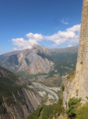
Belle randonnée menant à 1610m d’altitude. Départ depuis la gare sncf
Route photos
User reviews
5.0
• 1 reviews
This route does not have any reviews yet. Have you done it? Be the first to write a review!
Passes along the route
6 Km
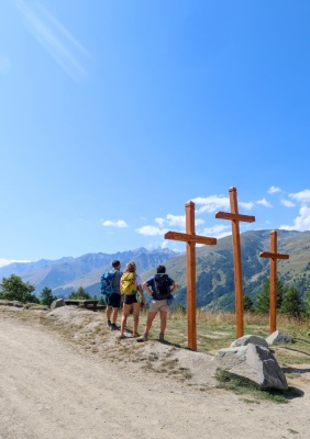
Col des Trois Croix
1,648 m
7 Km
Col du Télégraphe
1,566 m
10 Km
Col du Télégraphe
1,566 m
Passes extracted from the Club des Cent Cols catalogue
Summary
Discover this 18.2 km hiking route near Saint-Michel-de-Maurienne. It has a cumulative ascent of more than 1030m. Allow about 7 hours and 48 minutes to complete this route.
Route creation date: November 14, 2024, 17:42:21.
Last update of the route sheet: July 12, 2025, 18:23:14.
Route ID: 20255919