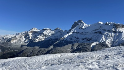
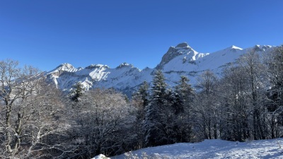
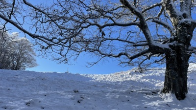
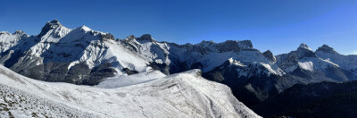
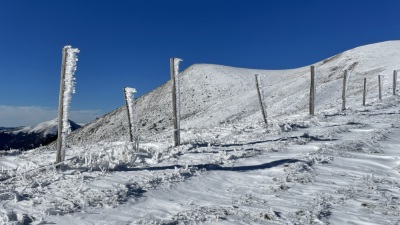
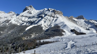
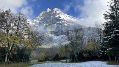
Route photos
User reviews
This route does not have any reviews yet. Have you done it? Be the first to write a review!
Passes along the route
8 Km
Col de Paille
1,845 m9 Km
Col de Priau
1,548 m11 Km
Collet du Pic de l'Aigle
1,687 mPasses extracted from the Club des Cent Cols catalogue
Summary
Discover this 16 km hiking route that starts in Tréminis and ends in Lus-la-Croix-Haute. This route includes 2.7 km of roads and 0.9 km of forest tracks. It has a cumulative ascent of more than 1170m. Allow about 7 hours and 57 minutes to complete this route.
Route creation date: November 17, 2024, 16:25:53.
Last update of the route sheet: May 4, 2026, 16:24:20.
Route ID: 20270985