Distance
21.16 Km
Ascent +
503 m
Descent -
504 m
Est. duration
6h37
A word from the author
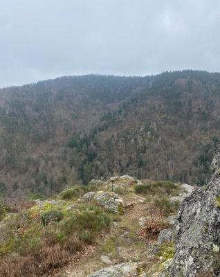
Parcours roulant qui conduit au château de sait sous couzan par le chemin de Montaigne. Continuer jusqu’à st george sous couzan pour ne pas manquer la croix de st Martin avant de rentrer à la gare
Route photos


User reviews
This route does not have any reviews yet. Have you done it? Be the first to write a review!
Summary
Discover this 21.2 km hiking route that starts in Boën-sur-Lignon and ends in Leigneux. It has a cumulative ascent of more than 500m. Allow about 6 hours and 37 minutes to complete this route.
Route creation date: November 28, 2024, 12:14:51.
Last update of the route sheet: November 28, 2024, 12:14:37.
Route ID: 20322342