Distance
10.12 Km
Ascent +
122 m
Descent -
132 m
Est. duration
1h25
A word from the author
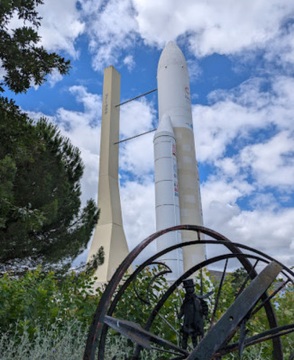
Départ Calandreta Costa Pavada, puis bois de Limayrac, Bois de Sarabelle, Cité de l'espace, Parc de la grande plaine, Côte Sainte Claire, et arrivée bois de Limayrac
Route photos


User reviews
4.0 • 1 reviews
Jul 4, 2025
Ne fait pas 10km
S
samhpas
Summary
Discover this 10.1 km running route near Toulouse. This route includes 5.2 km of roads and 3.9 km of paths. It has a cumulative ascent of more than 120m. Allow about 1 hour and 25 minutes to complete this route.
Route creation date: January 9, 2025, 13:31:30.
Last update of the route sheet: January 23, 2026, 14:42:15.
Route ID: 20500868