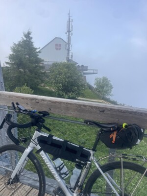
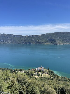
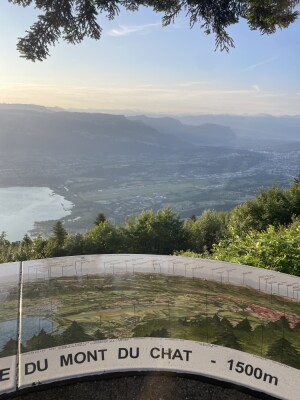
SR SAVOIE 2025 des Cyclotouristes Chambériens
Chambéry Le Bourget-du-Lac
Distance
605.33 Km
Ascent +
15,786 m
Descent -
14,582 m
Est. duration
1d 9h55
Bicicletta da viaggio
One way
Les Cyclos Chambériens

Route photos
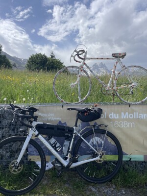
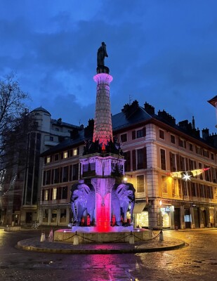
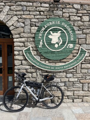
SR SAVOIE 2025 des Cyclotouristes Chambériens - Chambéry - Photo 1
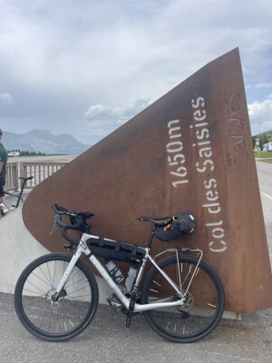
SR SAVOIE 2025 des Cyclotouristes Chambériens - Chambéry - Photo 2
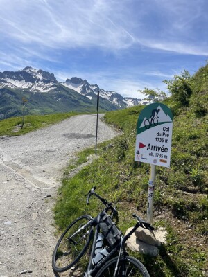
SR SAVOIE 2025 des Cyclotouristes Chambériens - Chambéry - Photo 3
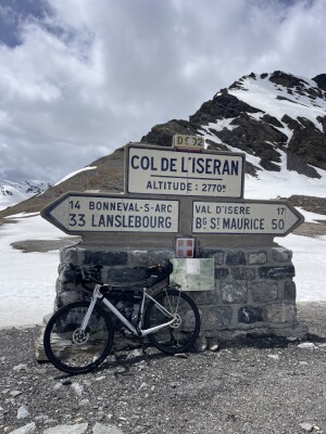
SR SAVOIE 2025 des Cyclotouristes Chambériens - Chambéry - Photo 4
SR SAVOIE 2025 des Cyclotouristes Chambériens - Chambéry - Photo 5
SR SAVOIE 2025 des Cyclotouristes Chambériens - Chambéry - Photo 6
SR SAVOIE 2025 des Cyclotouristes Chambériens - Chambéry - Photo 7
SR SAVOIE 2025 des Cyclotouristes Chambériens - Chambéry - Photo 8
SR SAVOIE 2025 des Cyclotouristes Chambériens - Chambéry - Photo 9
SR SAVOIE 2025 des Cyclotouristes Chambériens - Chambéry - Photo 10
SR SAVOIE 2025 des Cyclotouristes Chambériens - Chambéry - Photo 11
SR SAVOIE 2025 des Cyclotouristes Chambériens - Chambéry - Photo 12
SR SAVOIE 2025 des Cyclotouristes Chambériens - Chambéry - Photo 13
SR SAVOIE 2025 des Cyclotouristes Chambériens - Chambéry - Photo 14
SR SAVOIE 2025 des Cyclotouristes Chambériens - Chambéry - Photo 15
SR SAVOIE 2025 des Cyclotouristes Chambériens - Chambéry - Photo 16
User reviews
This route does not have any reviews yet. Have you done it? Be the first to write a review!

Passes along the route

54 Km
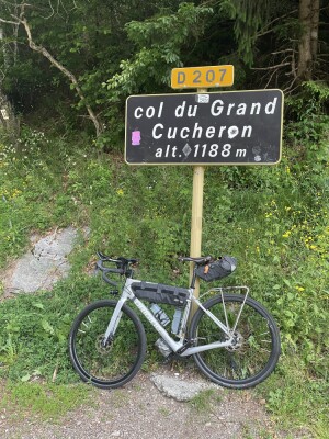
Col du Grand Cucheron
1,188 m
102 Km
Col du Glandon
1,924 m
105 Km
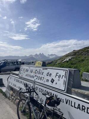
Col de la Croix de Fer
2,064 m
125 Km
Col du Mollard
1,630 m
132 Km
Le Collet
1,140 m
157 Km
Col de la Porte
900 m
165 Km
Col de Beau Plan
1,420 m
213 Km
Collet du Barioz
1,393 m
250 Km
Col de l'Iseran
2,764 m
317 Km
Cormet de Roselend
1,968 m
325 Km
Col de Méraillet
1,605 m
331 Km
Col du Pré
1,703 m
389 Km
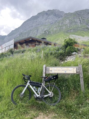
Col de l'Arpettaz
1,581 m
431 Km
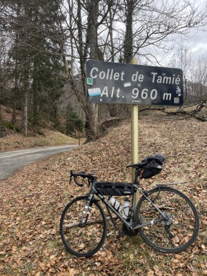
Collet de Tamié
958 m
432 Km
Col de Tamié
907 m
464 Km
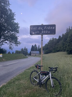
Col du Frêne
950 m
477 Km
Golet à Croquet
760 m
495 Km
Col de Plainpalais
1,173 m
502 Km
Pas du Rebollion
1,436 m
511 Km
Col de la Clusaz
1,184 m
545 Km
Col de Cessens
797 m
549 Km
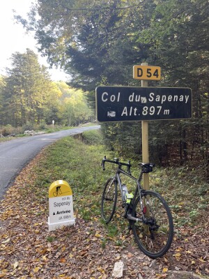
Col du Sapenay
897 m
Passes extracted from the Club des Cent Cols catalogue

WeatherIcône de représentation de l'abonnement Explorer

Weather feature

Feature available with the EXPLORER subscription

Summary

Scopri questo percorso in bicicletta di 605,3 km che inizia ad Chambéry e termina ad Le Bourget-du-Lac. Presenta una salita cumulativa di oltre 15780m. Prevedi circa 1 giorno e 9 ore per completare questo percorso.
Route creation date: June 20, 2025, 13:35:41.
Last update of the route sheet: December 3, 2025, 17:12:08.
Route ID: 21706629
Language
🇬🇧 English
Login
Create an account
Log in
Legal information
Legal Notice
Cookie consent
Follow us
Application OpenRunner Apple Application OpenRunner Android
© 2026 OpenRunner - Version 7.31.3
and join the community of enthusiasts!