
Distance
65.49 Km
Ascent +
4,688 m
Descent -
4,674 m
Est. duration
15h01
A word from the author
L'intégrale du coin ! Tous les sommets du secteur dans une même boucle : Môle, Cou, Perret, Couenasse, Col de Vesinnaz, Crêtes d'Hirmentaz, Miribel et Pointe des Brasses. Le tout, en évitant les chemins larges et en privilégiant singles et passages techniques.
Route photos
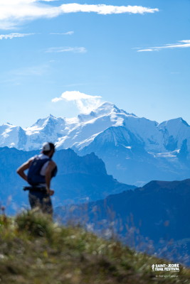
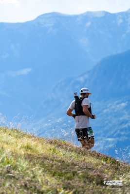
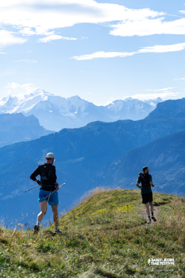
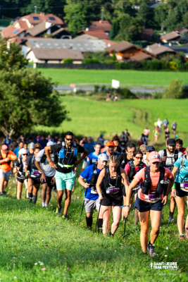
User reviews
This route does not have any reviews yet. Have you done it? Be the first to write a review!
Passes along the route
6 Km
Col du Môle
1,563 m
40 Km
Col de la Ramaz
1,559 m
42 Km
Col de Vésinaz
1,802 m
46 Km
Col de Chavannais
1,815 m
46 Km
Collet des Charmettes
1,655 m
Passes extracted from the Club des Cent Cols catalogue
Weather

Feature available with the EXPLORER subscription
Summary
Discover this 65.5 km trail route near Saint-Jeoire. This route includes 36.4 km of paths and 15.9 km of forest tracks. It has a cumulative ascent of more than 4680m. Allow about 15 hours and 1 minute to complete this route.
Route creation date: July 7, 2025, 11:24:34.
Last update of the route sheet: October 8, 2026, 18:55:13.
Route ID: 21838191

