
Distance
157.68 Km
Ascent +
2,879 m
Descent -
1,962 m
Est. duration
8h13
A word from the author
  Parcours passant par 4 départements et 3 régions effectué pour aller voir l'arrivée de l'étape 10 du Tour de France 2025.

Toilettes sèches à Argentat.
Point d'eau à Spontour (sortir légèrement de la trace).
Toilettes, eau et commerces à Champagnac.
Toilettes à Saint-Thomas.

Vidéo du parcours : https://youtu.be/CZK4qxuVuXw

Accédez aux parcours privés sur le Discord Privé (à partir de 1€) : https://discord.gg/zSf4E36p2b
https://julienrabier.fr
https://www.youtube.com/julienrabier
https://www.instagram.com/julien.rabier
Julien Rabier
Route photos
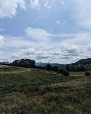
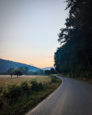
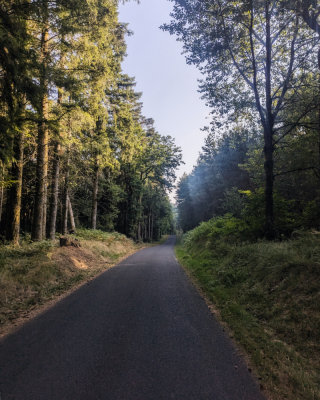
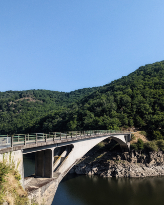
User reviews
This route does not have any reviews yet. Have you done it? Be the first to write a review!
Weather

Feature available with the EXPLORER subscription
Summary
Discover this 157.7 km bike route that starts in Bretenoux and ends in Mont-Dore. This route includes only roads. It has a cumulative ascent of more than 2870m. Allow about 8 hours and 13 minutes to complete this route.
Route creation date: July 19, 2025, 11:04:12.
Last update of the route sheet: July 23, 2025, 18:19:32.
Route ID: 21944639

