Distance
22.69 Km
Ascent +
301 m
Descent -
294 m
Est. duration
2h44
A word from the author
    Parcours sur les hauteurs des coteaux offrant de très belles vues sur les vallées, quelques montées qui valent le coup
Attention Palombières à éviter en octobre novembre
Merci
C
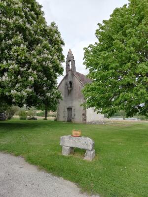
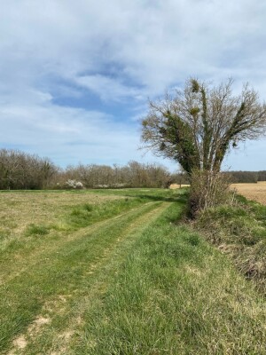
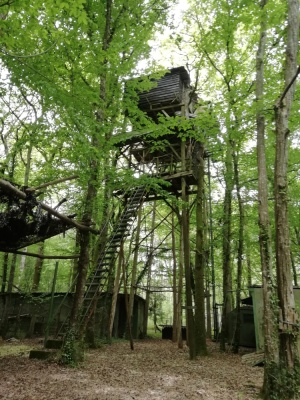
Route photos
User reviews
This route does not have any reviews yet. Have you done it? Be the first to write a review!
Summary
Discover this 22.7 km mountain biking route near Lauzun. This route includes 8.9 km of roads and 8.4 km of forest tracks. It has a cumulative ascent of more than 300m. Allow about 2 hours and 44 minutes to complete this route.
Route creation date: July 26, 2025, 16:01:31.
Last update of the route sheet: July 26, 2025, 16:16:42.
Route ID: 22013054