
Distance
501.01 Km
Ascent +
6,669 m
Descent -
7,182 m
Est. duration
23h56
A word from the author
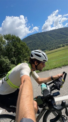
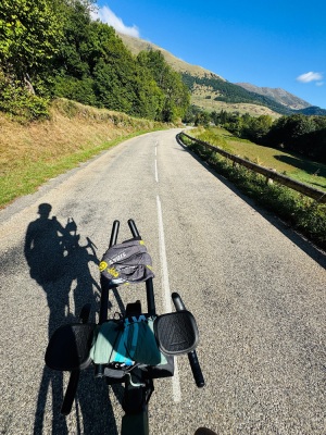
  One shoot départ 12h d’Annecy!
17h45 de selle (+2h de pause sans se presser!)
Belle bambée
Fraîche nuit avec du brouillard sur les plateaux!
Café pour l’ouverture du Café du Cycliste à Nice, royal!
Route photos


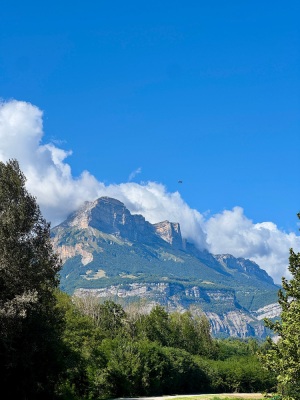
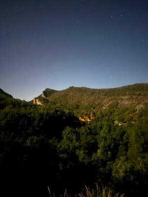
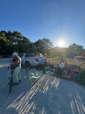
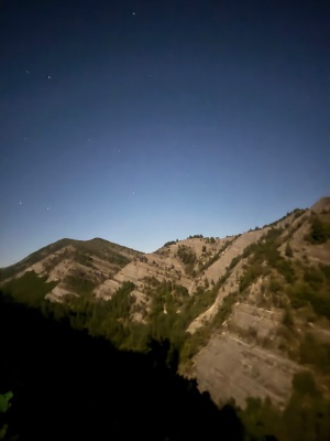
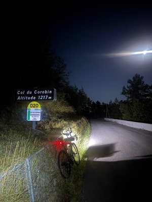
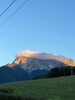


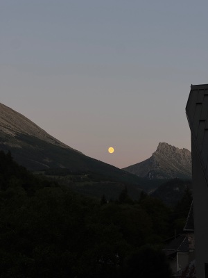
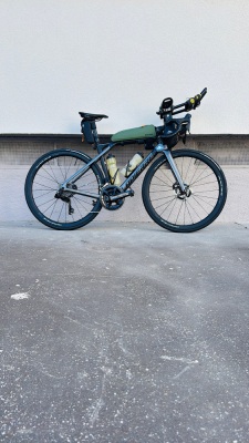


User reviews
This route does not have any reviews yet. Have you done it? Be the first to write a review!
Passes along the route
40 Km
Col de Tamié
907 m
162 Km
Le Col
1,080 m
220 Km
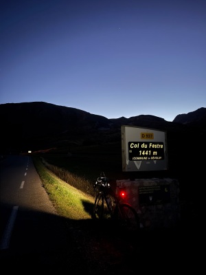
Col du Festre
1,441 m
249 Km
Le Collet
764 m
251 Km
Col de Chaumiane
810 m
255 Km
Col la Croix
838 m
261 Km
Col de Faye
930 m
341 Km
Col des Abeilles
710 m
347 Km
Col de Pierre Basse
1,065 m
352 Km
Col de Corobin
1,211 m
378 Km
Col des Robines
987 m
397 Km
Col de Cheiron
887 m
409 Km
Col de Luens
1,054 m
410 Km
Basse de Mouleirettes
1,015 m
479 Km
Col du Peyron
304 m
Passes extracted from the Club des Cent Cols catalogue
Weather

Feature available with the EXPLORER subscription
Summary
Scopri questo percorso in bicicletta di 501 km che inizia ad Annecy e termina ad Nizza. Questo percorso si snoda su 440,2 km di strade e 60,6 km di piste ciclabili. Presenta una salita cumulativa di oltre 6660m. Prevedi circa 23 ore e 56 minuti per completare questo percorso.
Route creation date: August 9, 2025 at 22:26:36.
Last update of the route sheet: October 25, 2025 at 21:43:48.
Route ID: 22164176

