
Distance
15.2 Km
Ascent +
488 m
Descent -
487 m
Est. duration
5h06
A word from the author
Rando effectuée le 21 novembre 2010; voir la fiche N° 25 et aussi la fiche 27
Route photos
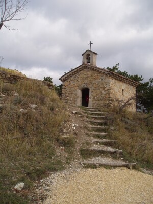
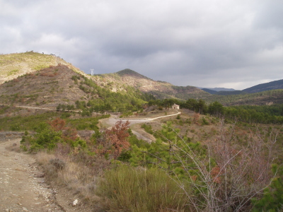
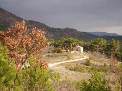
User reviews
5.0
• 1 reviews
May 17, 2026
Tres bien balisé avec open runer👍
R
r1tt0n61
Passes along the route
2 Km
Col des Beaux
405 m
8 Km
Col de la Tuilerie
576 m
10 Km
Col de Pourcheton
610 m
12 Km
Col de Saillans
584 m
Passes extracted from the Club des Cent Cols catalogue
Weather

Feature available with the EXPLORER subscription
Summary
Descubre este recorrido de senderismo de 15,2 km cerca de Saillans. Presenta un desnivel acumulado de más de 480m. Calcula unas 5 horas y 6 minutos para completar esta ruta.
Route creation date: October 23, 2025 at 15:47:09.
Last update of the route sheet: October 25, 2025 at 11:54:06.
Route ID: 22739525

