
Distance
106.35 Km
Ascent +
2,998 m
Descent -
2,554 m
Est. duration
1d 10h08
Route photos
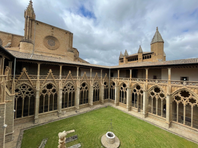
Cathédrale de Pampelune © Mina Sohn
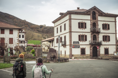
Urdax © Mikel Murz
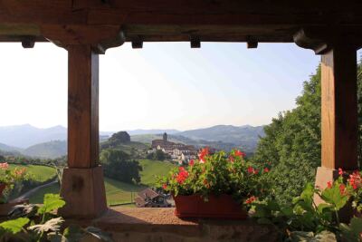
Ziga depuis le belvédère de Caserio
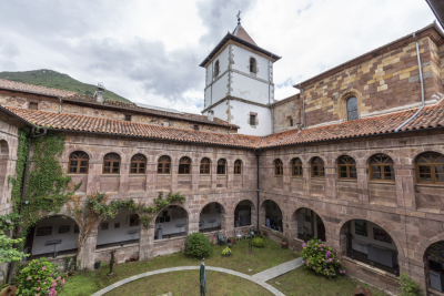
Monastère d'Urdax © Francis Vaquero
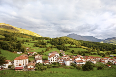
Amaiur, Baztan © Javier Campos
User reviews
This route does not have any reviews yet. Have you done it? Be the first to write a review!
Passes along the route
26 Km
Col de Pinodieta
176 m
41 Km
Otsondoko Lepoa
574 m
41 Km
Lizarmeaka Lepoa
551 m
42 Km
Altzolako Lepoa
564 m
44 Km
Zuretako Lepoa
815 m
45 Km
Aizkozko Lepoa
741 m
45 Km
Andregingo Lepoa
754 m
47 Km
Atxuelako Lepoa
791 m
48 Km
Collado Iñaberri
796 m
73 Km
Ermitako Lepoa
913 m
Passes extracted from the Club des Cent Cols catalogue
Weather

Feature available with the EXPLORER subscription
Summary
Discover this 106.4 km hiking route that starts in Bayonne and ends in Pamplona. This route includes 42.9 km of roads and 31.1 km of forest tracks. It has a cumulative ascent of more than 2990m. Allow about 1 day and 10 hours to complete this route.
Route creation date: December 12, 2025, 11:38:10.
Last update of the route sheet: August 6, 2026, 17:26:47.
Route ID: 23018234

