
Distance
16.76 Km
Ascent +
386 m
Descent -
385 m
Est. duration
5h13
A word from the author
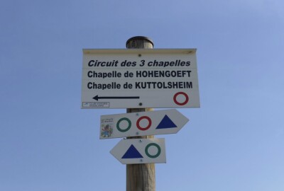
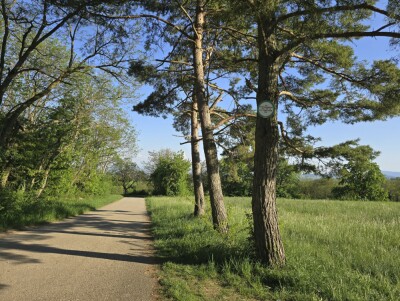
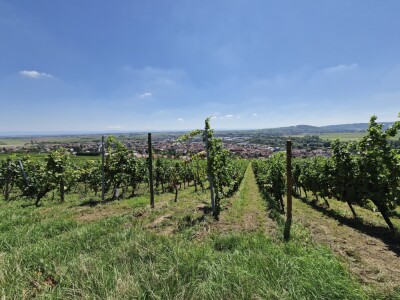
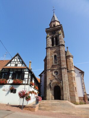
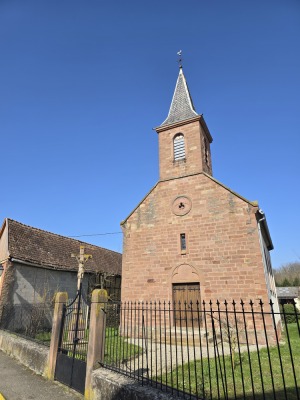
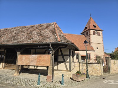
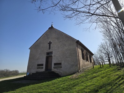
  Suivez ce parcours à travers vignes, champs et sous-bois, qui dévoile le
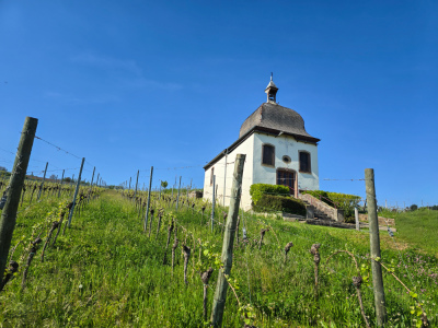
patrimoine rural et culturel de la région. Depuis la chapelle du Marlenberg,
en passant par celle de Saint-Wendelin, progressez à travers les paysages
viticoles et les coteaux jusqu’aux portes du Kochersberg, où se dévoile la
chapelle Sainte-Barbe.
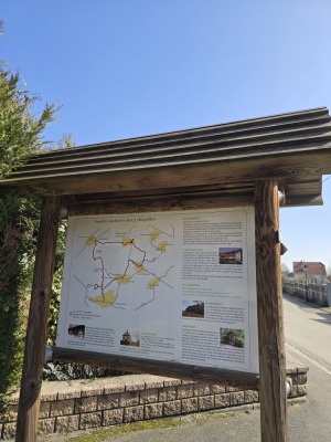
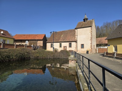
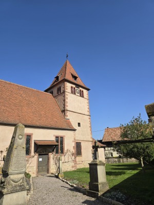
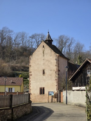
Route photos
User reviews
This route does not have any reviews yet. Have you done it? Be the first to write a review!
Summary
Discover this 16.8 km hiking route near Marlenheim. This route includes 11.6 km of forest tracks and 4.9 km of roads. It has a cumulative ascent of more than 380m. Allow about 5 hours and 13 minutes to complete this route.
Route creation date: February 26, 2026, 14:42:21.
Last update of the route sheet: July 21, 2026, 16:45:05.
Route ID: 23442490

