
Distance
11.91 Km
Ascent +
327 m
Descent -
327 m
Est. duration
3h50
A word from the author
  Dans un cadre naturel exceptionnel, à la lisière du vignoble et de la forêt,
partez pour une randonnée accessible sur les hauteurs de Westhoffen.
Empruntez les sentiers jusqu’au relais du Geisweg, puis atteignez la colline du
Bruderbach, qui dévoile un panorama exceptionnel sur Westhoffen, capitale
de la cerise d’Alsace, et sa «petite Toscane» alsacienne.
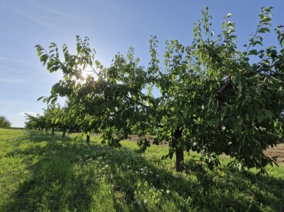
Route photos
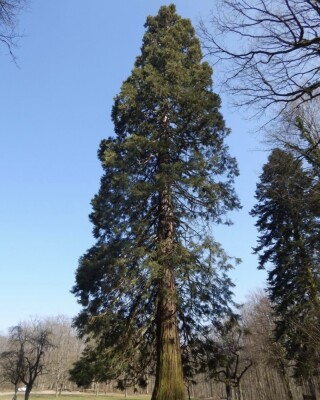
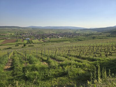
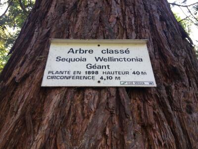
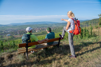
User reviews
This route does not have any reviews yet. Have you done it? Be the first to write a review!
Passes along the route
8 Km
Col du Schanz
414 m
Passes extracted from the Club des Cent Cols catalogue
Weather

Feature available with the EXPLORER subscription
Summary
Discover this 11.9 km hiking route near Westhoffen. This route includes 4.6 km of forest tracks and 3.9 km of roads. It has a cumulative ascent of more than 320m. Allow about 3 hours and 50 minutes to complete this route.
Route creation date: March 3, 2026, 16:33:05.
Last update of the route sheet: July 21, 2026, 16:45:54.
Route ID: 23479401

