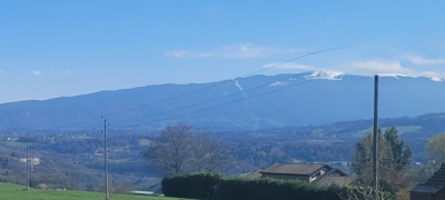
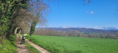
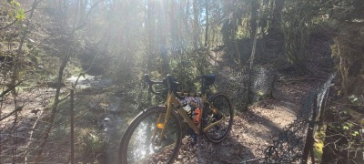
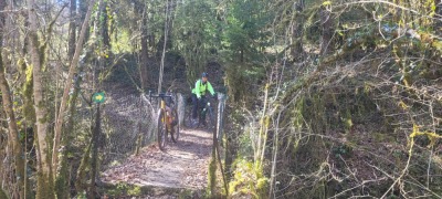
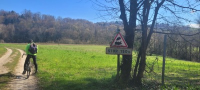
Route photos
User reviews
This route does not have any reviews yet. Have you done it? Be the first to write a review!
Summary
Descubre este recorrido de gravel de 48 km cerca de Sillingy. Este recorrido transcurre durante 25,5 km por carreteras y 20 km por pistas forestales. Presenta un desnivel acumulado de más de 860m. Calcula unas 3 horas y 12 minutos para completar esta ruta.
Route creation date: March 11, 2026, 15:12:55.
Last update of the route sheet: April 19, 2026, 15:29:55.
Route ID: 23534751