
Distance
13.67 Km
Ascent +
758 m
Descent -
759 m
Est. duration
5h45
A word from the author
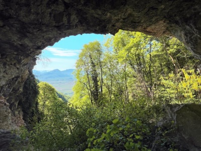
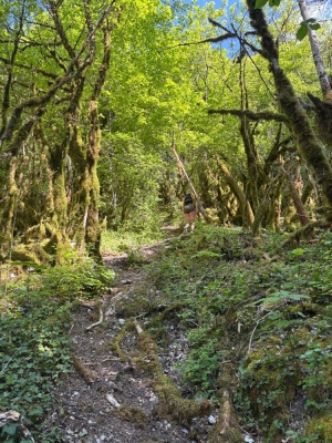
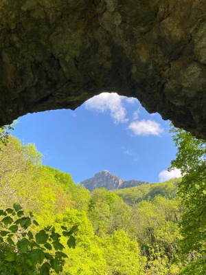
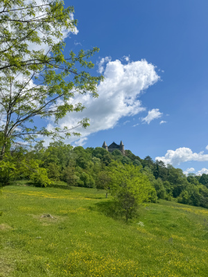
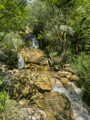
Parcours depuis la gare de Culoz en direction de Béon puis la Roche Percée. Montée bien pentue avant de redescendre un peu... Puis remonter vers Romagneux. Aller retour possible vers la cascade de la Magnine (elle est toute petite)
50 nuances de trek
Route photos
User reviews
This route does not have any reviews yet. Have you done it? Be the first to write a review!
Weather

Feature available with the EXPLORER subscription
Summary
Discover this 13.7 km hiking route near Culoz-Béon. This route includes 5.5 km of forest tracks and 4.5 km of paths. It has a cumulative ascent of more than 750m. Allow about 5 hours and 45 minutes to complete this route.
Route creation date: April 12, 2026 at 18:26:55.
Last update of the route sheet: April 20, 2026 at 10:52:59.
Route ID: 23780673

