
Distance
58.49 Km
Ascent +
1,667 m
Descent -
1,354 m
Est. duration
7h59
A word from the author
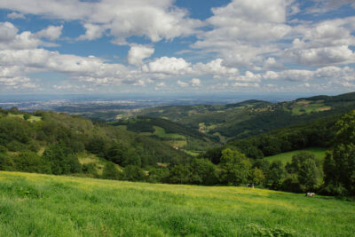
Vous débuterez une longue ascension jusqu’au pied du Mont Pothu. Vous profiterez de jolis points de vue et d’une nature omniprésente sur des petites routes calmes, des chemins roulants et des monotraces. Vous replongerez ensuite dans la vallée de la Brévenne avant de remonter sur les hauteurs. Vous pourrez vous offrir une halte rafraîchissante au barrage de la Gimond. La dernière partie alterne montées et descentes jusqu’à Saint Symphorien sur Coise.
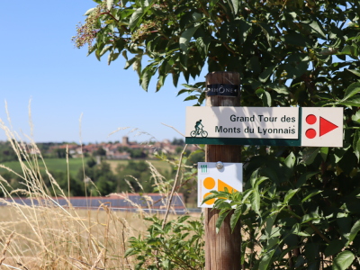
Destination Monts du Lyonnais
Route photos
User reviews
This route does not have any reviews yet. Have you done it? Be the first to write a review!
Weather

Feature available with the EXPLORER subscription
Summary
Discover this 58.5 km mountain biking route that starts in Sain-Bel and ends in Saint-Symphorien-sur-Coise. This route includes 27 km of forest tracks and 19.4 km of roads. It has a cumulative ascent of more than 1660m. Allow about 7 hours and 59 minutes to complete this route.
Route creation date: April 15, 2026, 17:40:41.
Last update of the route sheet: August 4, 2026, 09:47:14.
Route ID: 23806981

