Distance
38.69 Km
Ascent +
490 m
Descent -
982 m
Est. duration
1h44
A word from the author
Parcours par des routes passantes où finalement, peu de voitures passent. Superbe dernière descente.
50 nuances de trek
Route photos
User reviews
This route does not have any reviews yet. Have you done it? Be the first to write a review!
Passes along the route
11 Km
Golet du Thioux
740 m19 Km
Col de la Berche
864 mPasses extracted from the Club des Cent Cols catalogue
Summary
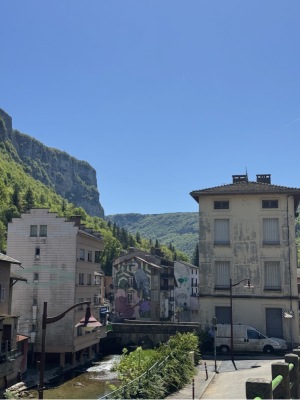
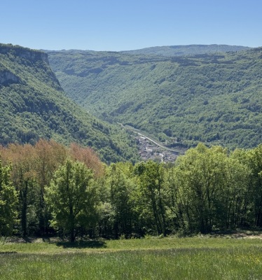
Discover this 38.7 km bike route that starts in Plateau d'Hauteville and ends in Tenay. This route includes only roads. It has a cumulative ascent of more than 490m. Allow about 1 hour and 44 minutes to complete this route.
Route creation date: April 26, 2026, 19:19:59.
Last update of the route sheet: April 26, 2026, 19:17:29.
Route ID: 23906749