Distance
15.28 Km
Ascent +
195 m
Descent -
549 m
Est. duration
4h41
5
50 nuances de trek
Route photos
User reviews
This route does not have any reviews yet. Have you done it? Be the first to write a review!
Passes along the route
9 Km
Col de Nesson
340 mPasses extracted from the Club des Cent Cols catalogue
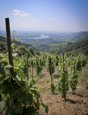
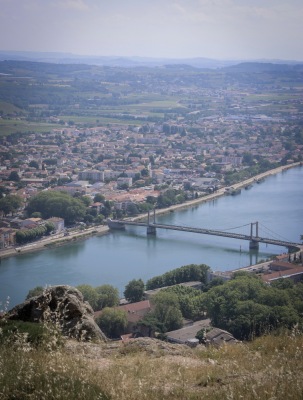
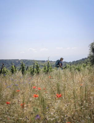
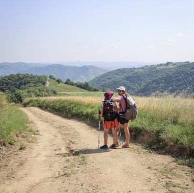
Summary
Discover this 15.3 km hiking route that starts in Plats and ends in Tournon-sur-Rhône. This route includes 9.1 km of roads and 3.2 km of paths. It has a cumulative ascent of more than 190m. Allow about 4 hours and 41 minutes to complete this route.
Route creation date: May 21, 2026, 23:10:18.
Last update of the route sheet: June 18, 2026, 14:25:19.
Route ID: 24149138