Distance
13.37 Km
Ascent +
558 m
Descent -
190 m
Est. duration
4h27
5
50 nuances de trek
Route photos

User reviews
This route does not have any reviews yet. Have you done it? Be the first to write a review!
Summary
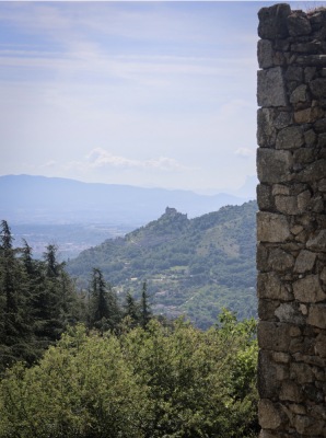
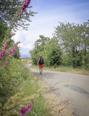
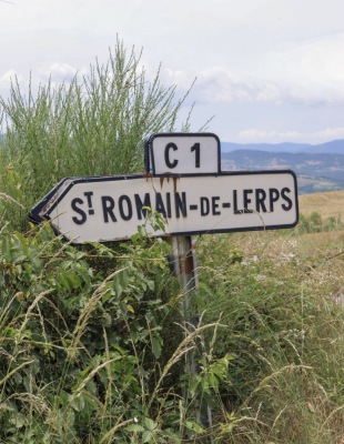
Discover this 13.4 km hiking route that starts in Saint-Péray and ends in Plats. This route includes 9.1 km of roads and 2.5 km of forest tracks. It has a cumulative ascent of more than 550m. Allow about 4 hours and 27 minutes to complete this route.
Route creation date: May 22, 2026, 11:47:10.
Last update of the route sheet: June 18, 2026, 14:20:46.
Route ID: 24152005