Distance
19.65 Km
Ascent +
390 m
Descent -
389 m
Est. duration
5h57
A word from the author
    23/05/2026
16 randonneurs, très beau temps.
Départ du parking des Bergonnes.
GPS Serge
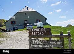
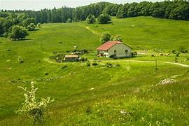
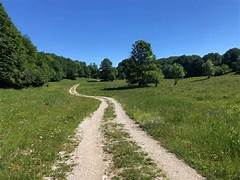
Route photos
User reviews
This route does not have any reviews yet. Have you done it? Be the first to write a review!
Summary
Discover this 19.6 km hiking route near Haut Valromey. It has a cumulative ascent of more than 390m. Allow about 5 hours and 57 minutes to complete this route.
Route creation date: May 23, 2026, 18:14:55.
Last update of the route sheet: May 23, 2026, 18:22:28.
Route ID: 24165152