
Distance
7.94 Km
Ascent +
141 m
Descent -
148 m
Est. duration
2h22
A word from the author
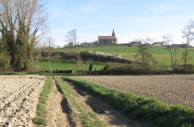
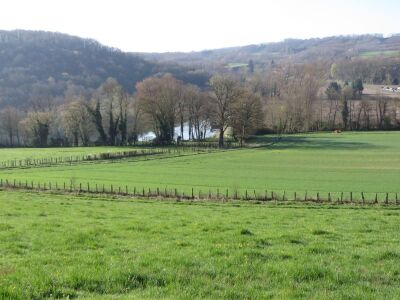
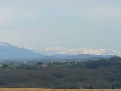
Randonnée réalisée par le comité; de fleurissement de Montcarra (2013). Passage au abords d'un haras, et du château, panorama sur les Alpes. Possibilité; de pique-nique à l'étang de Gole.
S
Route photos


User reviews
This route does not have any reviews yet. Have you done it? Be the first to write a review!
Summary
Discover this 7.9 km hiking route near Montcarra. It has a cumulative ascent of more than 140m. Allow about 2 hours and 22 minutes to complete this route.
Route creation date: February 28, 2015, 15:23:32.
Last update of the route sheet: February 7, 2024, 09:02:39.
Route ID: 2457376

