
Distance
8.84 Km
Ascent +
399 m
Descent -
415 m
Est. duration
3h17
A word from the author
Randonnée de village en village autour du sommet dominant L'Île Rousse et la mer. Compter la journée avec la visite des villages.
Route photos
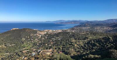
Rando 4 : Tour de la Cima Sant'Anghjulu - © OTIRB
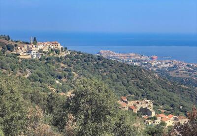
Rando 4 : Tour de la Cima Sant'Anghjulu - © OTIRB
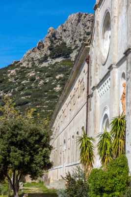
Rando 4 : Tour de la Cima Sant'Anghjulu - © O.Gomez
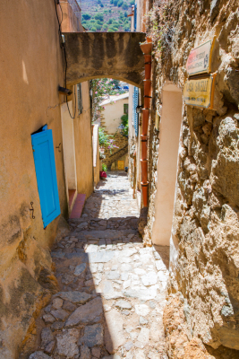
Rando 4 : Tour de la Cima Sant'Anghjulu - © O.Gomez
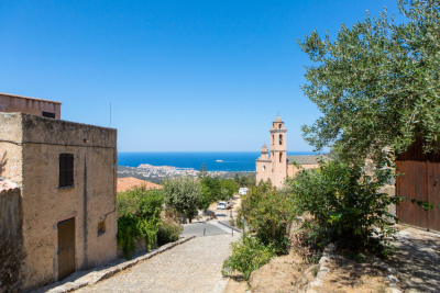
Rando 4 : Tour de la Cima Sant'Anghjulu - © O.Gomez
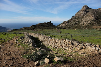
Rando 4 : Tour de la Cima Sant'Anghjulu - © OTIRB
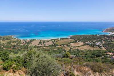
Rando 4 : Tour de la Cima Sant'Anghjulu - © O.Gomez
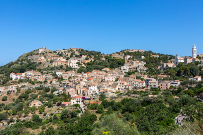
Rando 4 : Tour de la Cima Sant'Anghjulu - © O.Gomez
User reviews
This route does not have any reviews yet. Have you done it? Be the first to write a review!
Weather

Feature available with the EXPLORER subscription
Summary
Discover this 8.8 km hiking route near Corbara. This route includes 5.5 km of paths and 2.4 km of roads. It has a cumulative ascent of more than 390m. Allow about 3 hours and 17 minutes to complete this route.
Route creation date: July 15, 2026, 18:12:11.
Last update of the route sheet: July 15, 2026, 18:12:23.
Route ID: 24618243

