
Distance
144.65 Km
Ascent +
4,079 m
Descent -
4,079 m
Est. duration
20h01
A word from the author
G.R.A.V (Grande Randonnée Ardeche Verte) = bassin d'Annonay remixer
Route photos
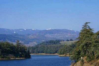
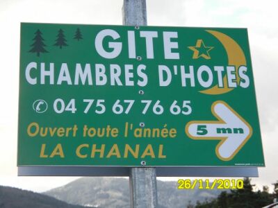
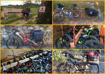
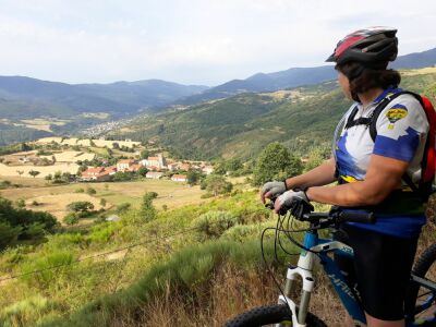
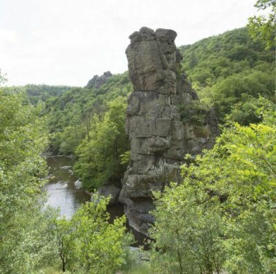
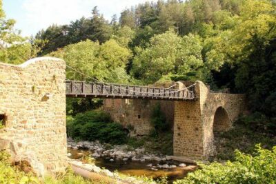
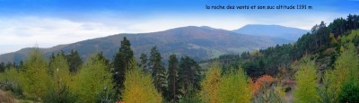
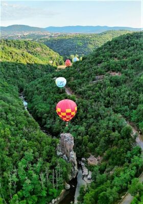
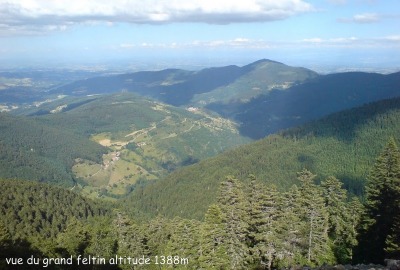
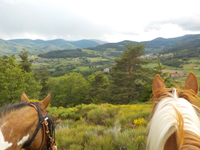
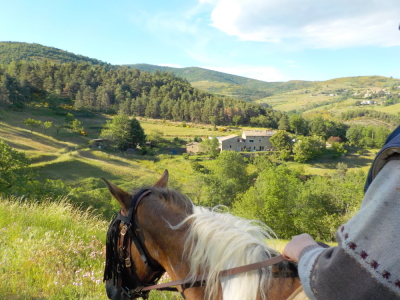
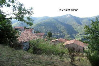
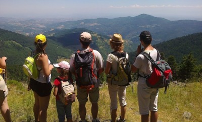
User reviews
This route does not have any reviews yet. Have you done it? Be the first to write a review!
Passes along the route
105 Km
Col de la Charousse
1,241 m
108 Km
Col du Feltin
1,340 m
110 Km
Col de la Clef
1,191 m
124 Km
Col de la Croix de Signolle
1,039 m
126 Km
Col de la Supyère
1,021 m
128 Km
Col de la Croix de Boiray
939 m
137 Km
Col du Tracoulet
614 m
Passes extracted from the Club des Cent Cols catalogue
Weather

Feature available with the EXPLORER subscription
Summary
Discover this 144.6 km mountain biking route near Quintenas. It has a cumulative ascent of more than 4070m. Allow about 20 hours and 1 minute to complete this route.
Route creation date: December 17, 2014, 18:03:10.
Last update of the route sheet: April 16, 2025, 20:41:29.
Route ID: 4308365

