Distance
8.34 Km
Ascent +
229 m
Descent -
229 m
Est. duration
2h41
A word from the author
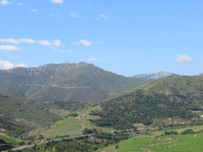
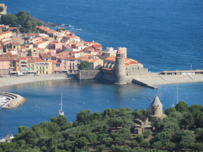
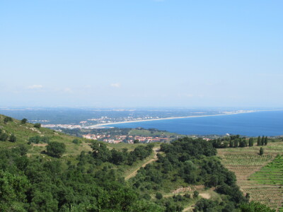
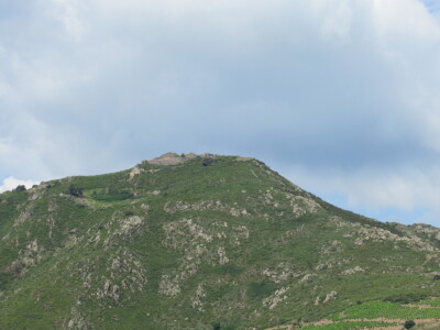
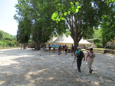
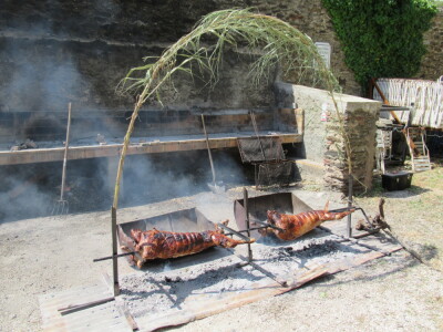
    "Port Vendres – Fort Sant Elme – Fort Dugommier "

- Parcours effectué le vendredi 22/06/2018 (14 participants).
- Dénivelé + : 250 m.
- Départ de la randonnée : Port Vendres : parking de la gare SNCF.
- Carte : IGN TOP25 – 2549 OT Banyuls/Col du Perthus/Côte Vermeille

Nota :
- Evitez les périodes de grands vents.
- Petite randonnée avant le repas de fin de saison 2017/2018.
CAMI RANDO
Route photos


User reviews
This route does not have any reviews yet. Have you done it? Be the first to write a review!
Summary
Descubre este recorrido de senderismo de 8,3 km cerca de Port-Vendres. Presenta un desnivel acumulado de más de 220m. Calcula unas 2 horas y 41 minutos para completar esta ruta.
Route creation date: August 18, 2018, 11:13:50.
Last update of the route sheet: March 29, 2026, 17:07:24.
Route ID: 9023231