3D Maps: visualize the terrain of your routes
Discover your OpenRunner routes in 3D to better understand the terrain, anticipate climbs and descents, and find your way more easily during your outings. The 3D view is also available offline.
Understand the terrain of your route at a glance
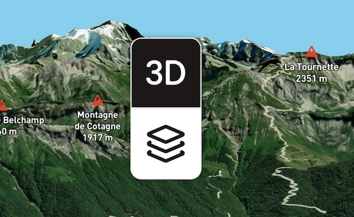
With OpenRunner 3D maps, your routes gain relief. This representation makes it easy to understand the shape of the terrain and picture your route before you even set off.
Climbs, descents, valleys, or a series of ridges become easier to identify than with a flat representation. You get a more concrete reading of your route, especially useful when it crosses hilly or mountainous areas.
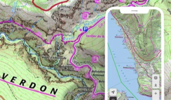
The 3D view can be used with the different map layers available on OpenRunner. You can keep the base map that suits your activity, including IGN maps when available, while enjoying a three-dimensional representation of the terrain.
Whether you're preparing a hike, a trail run, a bike ride, or a long-distance trek, 3D route visualization helps you better anticipate what lies ahead.
This feature is available only on the the OpenRunner app.
Plan your outings even further ahead
The 3D view complements the information usually used to prepare a route, such as the map and elevation profile.
The elevation profile lets you observe how altitude changes throughout the route. The 3D map adds a complementary reading by placing these variations directly within their environment.
This allows you to:
- more easily identify the main climbs and descents
- understand the sequence of different terrain features
- spot areas where the terrain changes significantly
- better anticipate your effort and certain sections of the route.
3D doesn't replace other mapping information: it offers a new way to read and understand your route.
A better reading of the terrain during your outing
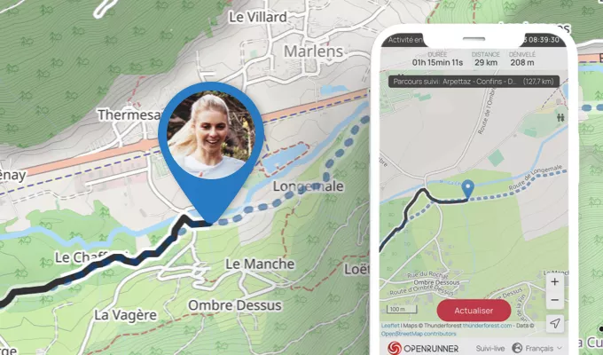
The 3D map can also accompany you once you're outside.
By giving volume to the terrain around your route, it makes it easier to understand your surroundings and can help you better locate yourself relative to the relief around you.
A valley, a climb, a pass, or a succession of ridges become easier to interpret on the map. This gives you a complementary representation to follow your route and understand the shape of the terrain.
View your 3D maps even offline
In the mountains, on a long-distance trek, or simply in an area with limited mobile coverage, being able to access your maps remains essential.
The OpenRunner 3D view is also available offline. By downloading your maps before you set off, you can keep viewing your route and its terrain even when you no longer have a connection.
This way, you keep the benefits of 3D visualization during your outings in remote areas, without depending on network coverage.
To prepare your maps before setting off, check out our article on using offline mode.
A new dimension for your routes
With 3D, OpenRunner complements the traditional reading of your routes with a more intuitive representation of the terrain. Before your outing, it helps you better understand the route and anticipate the main terrain variations. Once outside, it offers another point of view to help you locate yourself and interpret your surroundings.
And thanks to its offline availability, the 3D map stays accessible even when the network doesn't.
This feature is part of the
Learn more
EXPL  RER
RER
RER